*
Wednesday, July 11, 2012
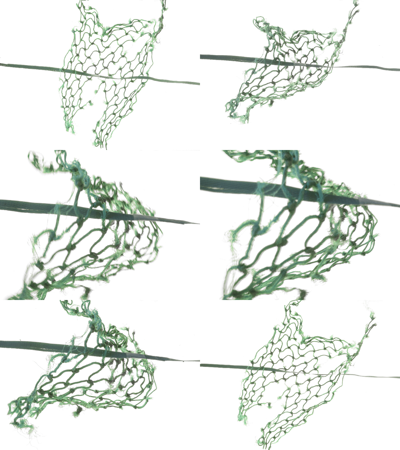
Flotsam GIF Shop
Sunday, January 30, 2011
ROCK, PAPER, SCISSORS: Models
Monday, June 21, 2010
Green Point: A Geological Paradise This place exposes layers of both the Cambrian and Ordovician eras. This portion of upstanding earth is composed of alternating shale and limestone formed over 30 million years. This place helped prove the theory of continental drift.
Monday, May 3, 2010
GRIDDING DOWN: A wood frame and string grid is used to survey rock surfaces and foster accurate measurements in scale. The inaccurate nature of the pictured grid and its changability in the face of an offshore wind made this particular exercise far from technical. * Non-technical scale drafting coming soon
Friday, April 30, 2010
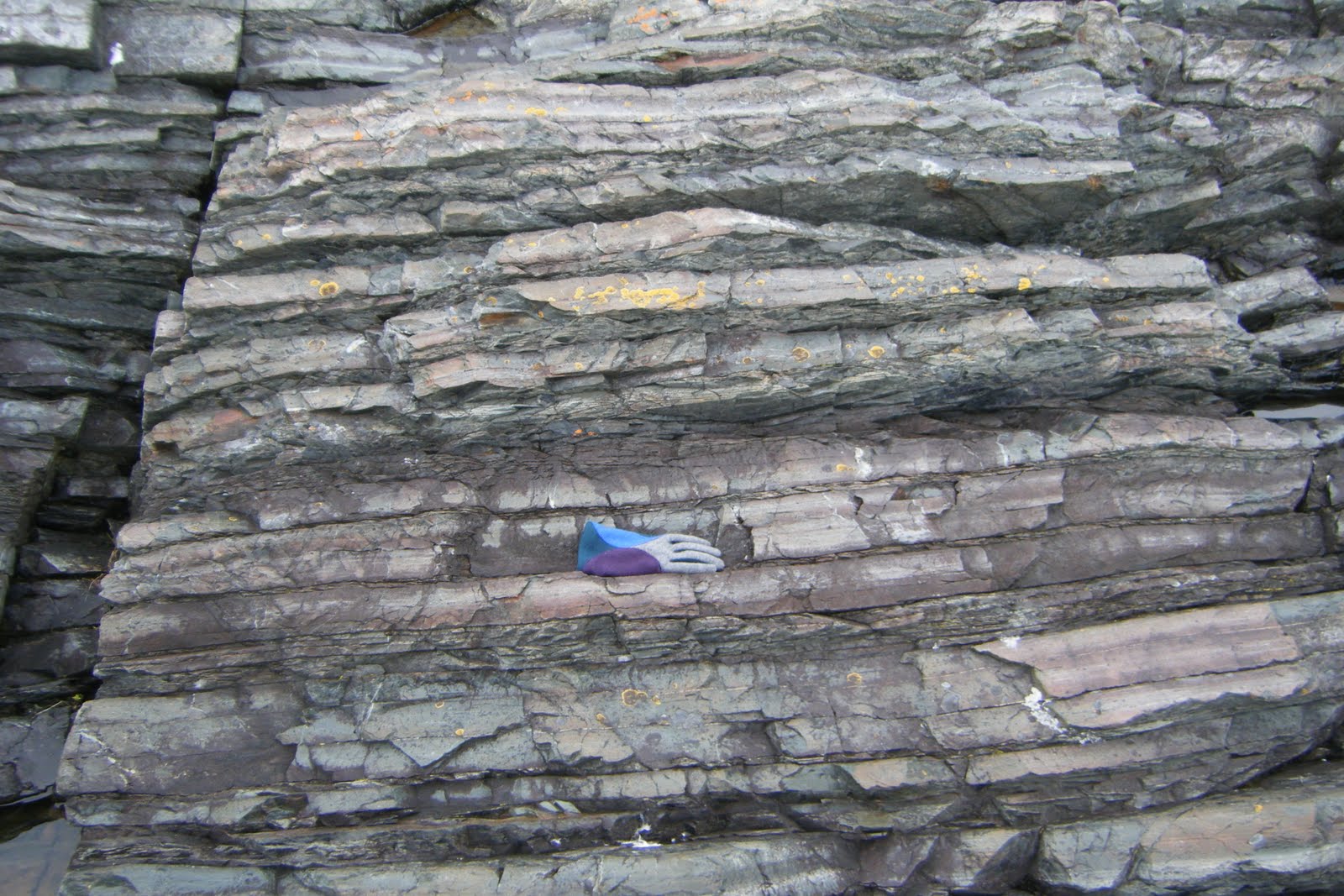
OBJECTS IN THE ROUGH: Geologists use tools and handy objects when recording surfaces to provide a scale reference in photographs. Typical objects used are: chisel-point hammer, shovel, hand lense, hard hat, binoculars, pen, pencil, etc. In the emulative exercise I lacked many of the tools usually used for imaging scale and thus used whatever could be found handy.
Tuesday, April 27, 2010
ICE: IT'S SORT OF LIKE ROCK BUT ITS ERODING IS CALLED MELTING
Newer Posts
Older Posts
Home
Subscribe to:
Posts (Atom)
Blog Archive
▼
2013
(1)
▼
April
(1)
Fraz-rush, cool tempered, and post-smelt caustics.
►
2012
(1)
►
July
(1)
►
2011
(1)
►
January
(1)
►
2010
(8)
►
June
(1)
►
May
(1)
►
April
(6)
Links
The Hidden Earth
Geological Map of Newfoundland
Katrin Sigurdardottir
Out 4 Pizza
Tectonic Structures
Iceberg Education Corner
The work of Tegan Moore
Iceberg Finder